Hiking · Kandy · Central
A Range Above Kandy
Knuckles Mountain Range — About 30 km east of Kandy
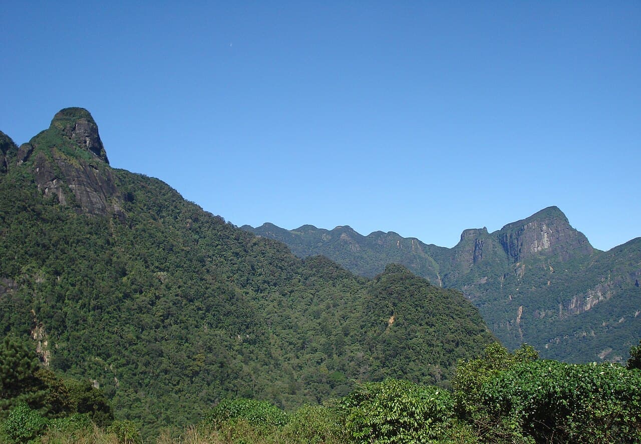 KNUCKLES RIDGEPhoto by Astronomyinertia on Wikimedia Commons
Multi-day trekking through cloud forest, paddy terraces, and remote village trails — far less developed for tourism than Horton Plains or Adam's Peak.
A serrated mountain range east of Kandy named for its resemblance to a clenched fist, formally protected as the Knuckles Conservation Forest. The range spans over 21,000 hectares of montane and submontane forest and is one of the three protected areas that make up the Central Highlands UNESCO inscription.
Location
Loading map…
7.4500° N, 80.8000° ECarto · OSM
Adjacent entries